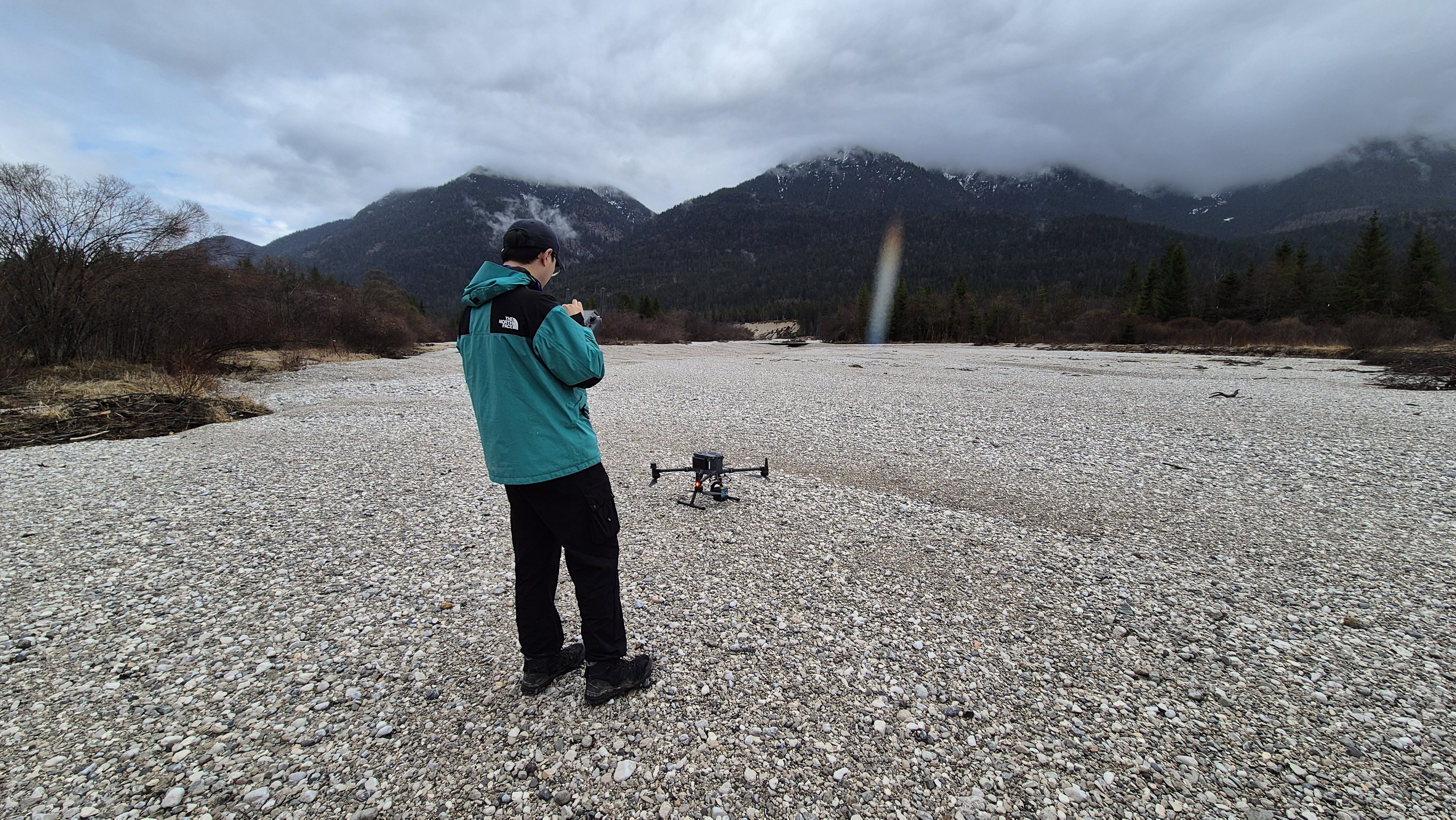
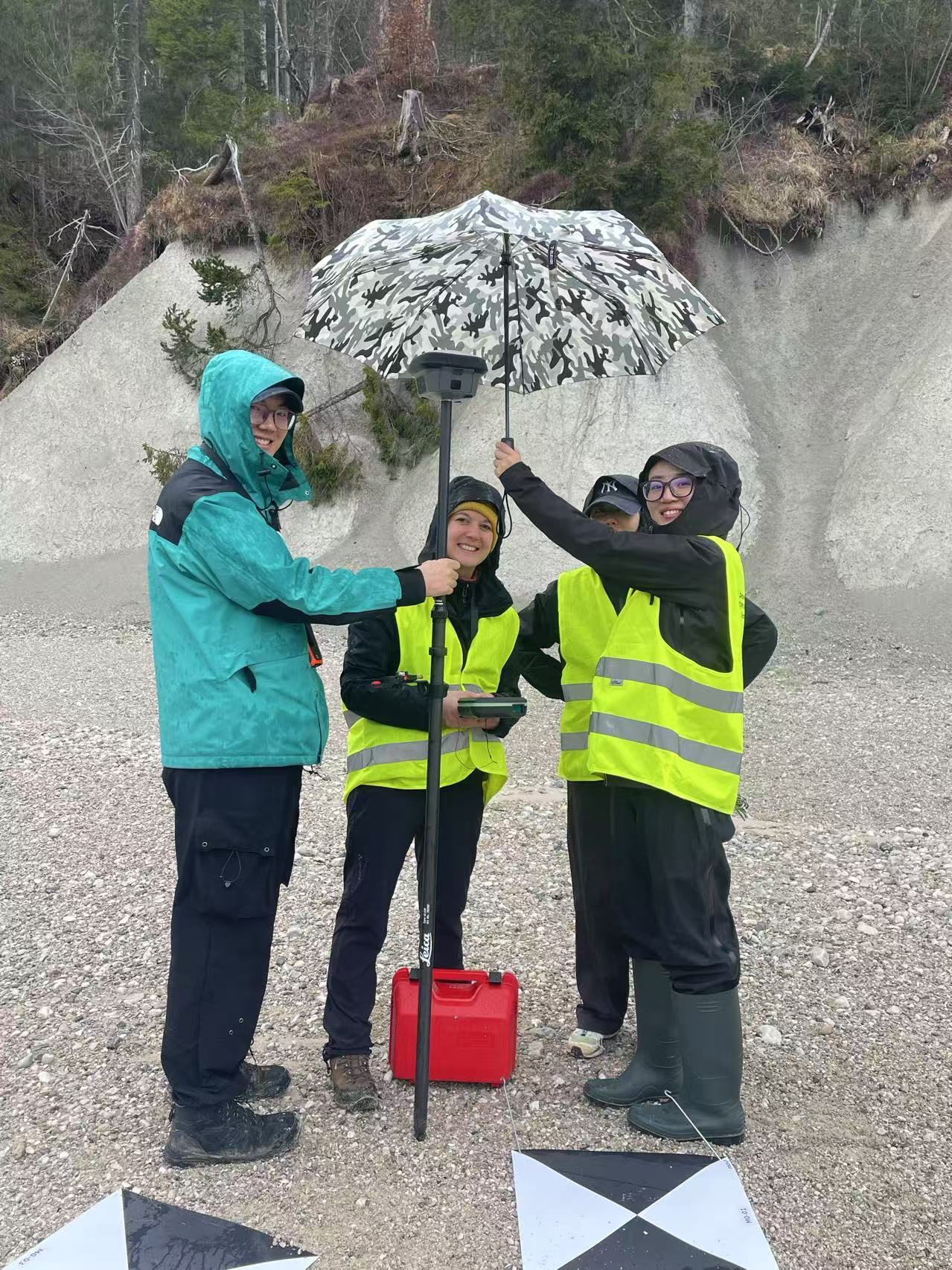
On March 25, 2025, our team conducted a UAV survey campaign at the Isar site near Wallgau. This fieldwork is part of our ongoing effort to monitor surface dynamics in the region and to build a 4D time series for surface analysis.
During the campaign, high-resolution UAV imagery and point cloud data were collected under favorable weather conditions. These datasets will be compared with those from a previous campaign at the same location, enabling us to detect and quantify surface changes over time. The resulting 4D time series supports our goal of capturing geomorphological processes at high spatial and temporal resolution.
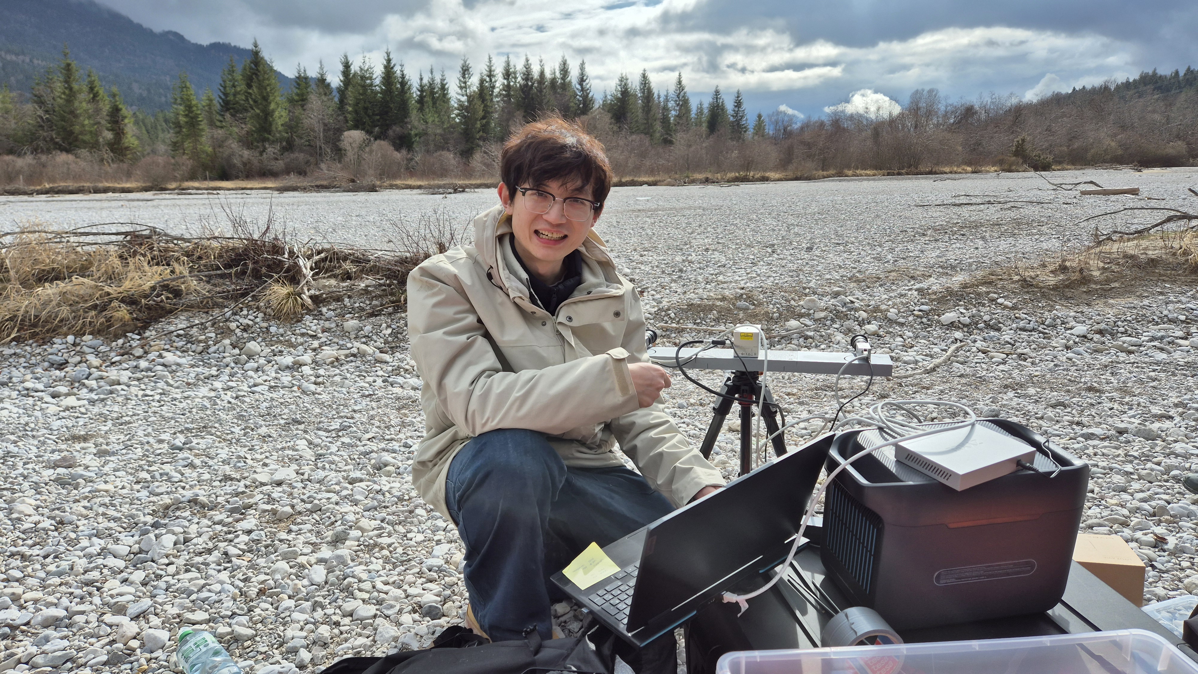
In addition to UAV-based surveys, we have developed and implemented a low-cost, all-weather, hypertemporal monitoring system based on the fusion of LiDAR and stereo cameras. The system achieves precise time synchronization using a microcontroller. The stereo camera captures high-frequency 3D point clouds, while the LiDAR provides low-frequency but highly accurate 3D measurements. By fusing data from these complementary sensors, the system delivers a robust and continuous stream of 3D data for monitoring river morphodynamics and deadwood transport.
This fusion-based system serves as a valuable intermediate data source, helping to fill temporal gaps between UAV-based and satellite-based remote sensing observations. After further refinement of the hardware and data processing workflow, we plan to permanently deploy multiple monitoring units along the Isar River. These systems will support continuous environmental observation and contribute to the development of an early warning framework for river-related hazards, such as flooding, bank erosion, and deadwood accumulation.
Explore our data in 3D here:
👉 Potree Viewer – Isar Riverbank Scene