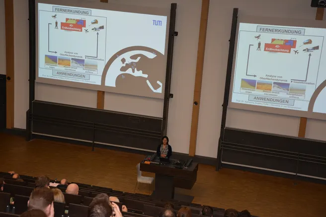
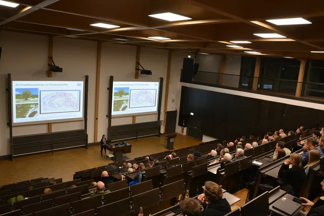
On 21 Nov, Prof. Katharina Anders gave a talk together with Prof. Daniel Czerwonka-Schröder in the frame of the Geodetic Colloquium of Bochum University of Applied Sciences on the topic of “Geodesy in four dimensions: Data analysis and spatiotemporal analysis of multitemporal data of the dynamic Earth surface”. Therein, Prof. Czerwonka-Schröder focused on uses of permanent laser scanning for different applications. Prof. Anders focused on spatiotemporal methods for automatic analysis of these data. The talk was followed by a reception, offering the possibility for exchange among persons from science, industry and the interested public. We thank the department of Geodesy, dean Prof. Eling, the student consortium, and the professional associations DVW and VDV for organizing and enabling this great event!
Find the news report of BO here: https://www.hochschule-bochum.de/aktuelles/n/geodaesie-in-vier-dimensionen-dynamik-der-erdoberflaeche-im-fokus/


