User Pool
The user pool is an open platform to publish the latest news about cartographic user studies. We are open to recruit candidates to take part in our experiments. If you are interested, please join us.
Our experiments are related in multiple domains, including cartography, information visualization, psychology, cognitive science, human-computer interaction, and the design sciences. The cutting-edge designs and newest devices will be used.
Why join this platform?
- Getting to know the latest cartographic research findings from LfK
- Joy of experiencing and interacting with the newest cartographic designs
- Participate in various experiments
Who can join?
Anyone!
How to join?
What are the experiments?
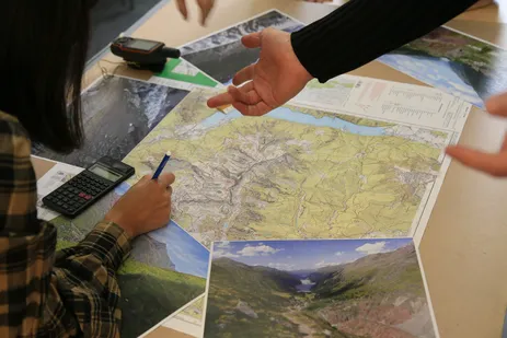
Here are some photos showing common types of our experiments:
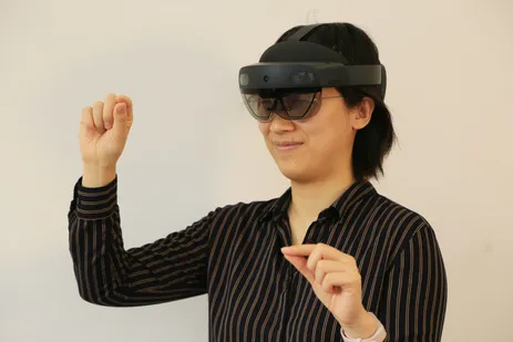
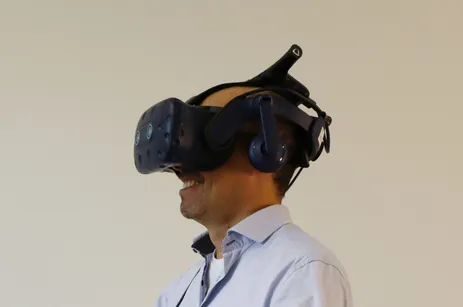
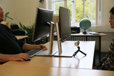

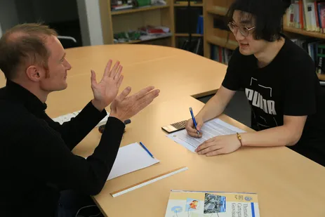
What will happen after register?
- When there is a new experiment, you will receive an email from us
- If you deceide to participate, you can contact the contact person from the email and reserve a time slot
- Get invited to the experiment by the contact person
- Participant the experiment on-line or on-site
Privacy protection
Yes. All the experiments are anonymized. The collected data is only used for research purpose.
Publications from previous experiments
- Liu, Bing; Ding, Linfang; Meng, Liqiu: Spatial knowledge acquisition with virtual semantic landmarks in mixed reality-based indoor navigation. Cartography and Geographic Information Science, 2021, 1-15. doi.org/10.1080/15230406.2021.1908171
- C. Zuo, L. Ding, L. Meng: A Feasibility Study of Map-Based Dashboard for Spatiotemporal Knowledge Acquisition and Analysis. ISPRS International Journal of Geo-Information 9 (11), 2020, 636. doi.org/10.3390/ijgi9110636
- Nuzhat Tabassum Nawshin: A Systematic Approach to Formulate Design Recommendations for Location-based Stories in Augmented Reality. Master thesis. 2021. https://cartographymaster.eu/wp-content/theses/2021_Nawshin_Poster.pdf
- Nikita Slavin: Map-based Storytelling in Spatial Augmented Reality Projection of Interactive Layers. Master thesis. 2020. https://cartographymaster.eu/wp-content/theses/2020_Slavin_Poster.pdf
- Shah Taj: Navigating Pictorial Maps with Attention Guiding and Narrative Techniques. Master thesis. 2020. https://cartographymaster.eu/wp-content/theses/2020_Shahtaj_Poster.pdf
- Brandon Serrao: Developing Gaze-based Map Interactions. Master thesis. 2020. https://cartographymaster.eu/wp-content/theses/2020_Serrao_Poster.pdf
- Adebayo Yusuf Ishola: An Empirical Evaluation of the Story Focus Concept – The Example of a Map Telling the Story of “The Legend of Meng Jiangnu”, 2020. https://cartographymaster.eu/wp-content/theses/2020_Ishola_Poster.pdf
- Rosalie Kremser: Improvement of Decision Making and Communication in Disaster Risk Management through Cartographic Dashboards, Master Thesis, 2020. https://cartographymaster.eu/wp-content/theses/2020_Kremser_Poster.pdf
- Lorenzo Libertini: Heuristic Reasoning about Geospatial Data under Uncertainty, Master Thesis, 2020. https://cartographymaster.eu/wp-content/theses/2020_Libertini_Poster.pdf