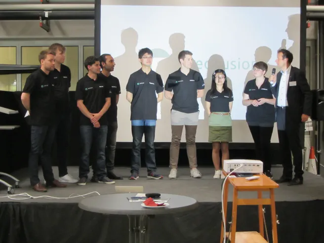
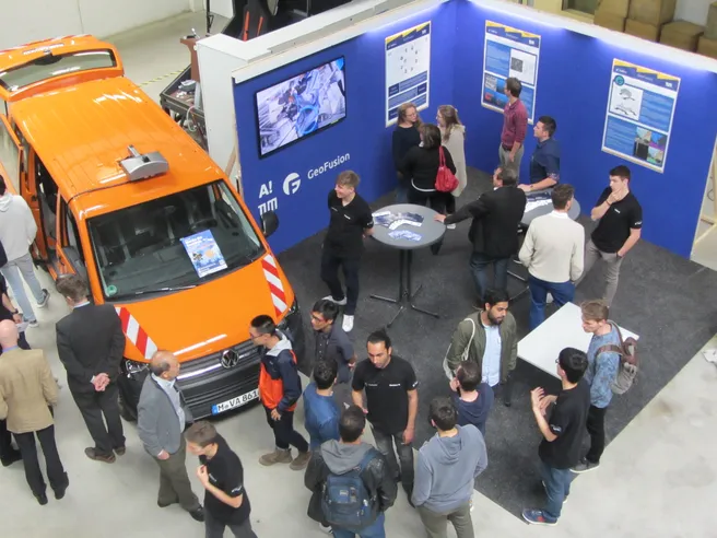
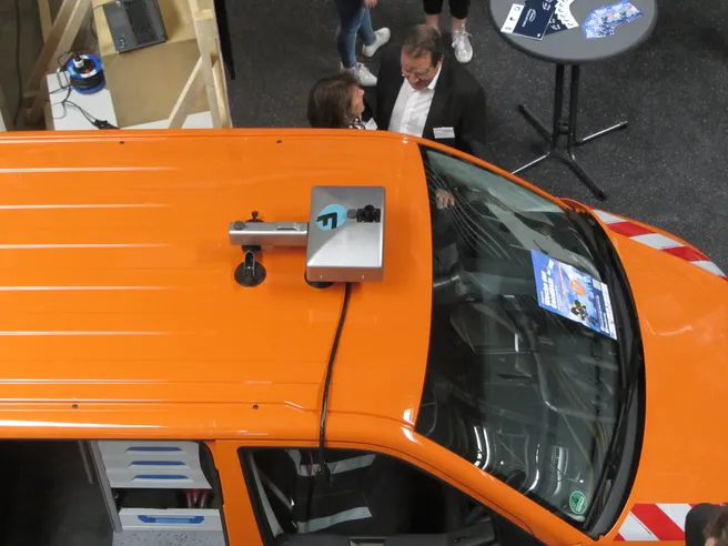
The GeoFusion Team consisting of four TUM students and four students from Aalto University Helsinki demonstrated their modular sensor plattform. The working sensor plattform consists of stereo cameras, GPS and Lidar. Based on cadastral data the low-cost sensor plattform extracts and localizes traffic lanes in order to enrich governmental geodata for autonomous driving applications. The GeoFusion students were supervised in cooperation by the Chair of Cartography and the Institute of Automotive Technology.


