Advanced GIS for Environmental Engineering

Course Contents
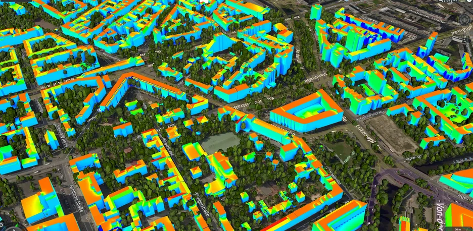
This course provides a general introduction to the usage and possibilities of geographical information systems (GIS) for Environmental Engineering. The major goal of this course is to provide an overview and potential of GIS in the context of semantic 3D city models. In addition to the theoretical part, some hands-on experience (e.g. software labs) shall be introduced during the course. These cover the spatio-semantic analyses and simulations on the basis of urban datasets.
Learning Outcomes
- Spatial awareness while working with spatial data
- Gaining and extending GIS knowledge
- Ability to learn and leverage GIS applications
- Familiarity with geo-databases
- Ability to visualize and interpret spatial data
- Reliable handling and preprocessing of city models for simulation purposes
- Problem solving skills both individually and in groups
Contact
For any queries regarding this course - lecture and exercise content, course dates, exam information, etc. please reach out to the following staff members.