Harmonisation of Geospatial Data

Course Content
The course focuses on imparting knowledge about the harmonisation of geospatial data. The content of the module is structured as follows:
- Introduction to the technical terms related to geospatial data harmonisation
- Syntactic and semantic heterogeneity of geospatial data
- Geospatial data harmonisation in the context of spatial data infrastructures
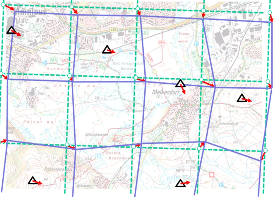
- Selected methods of geospatial data harmonisation (selected semantic transformation methods, selected geometric transformation methods)
- Spatial ETL (Extract Transform Load) with the software FME
The course contains a training with the software FME.
Intended Learning Outcomes
After successful completion of the module students are able
- to understand the use of geodata harmonisation methods, e.g. spatial ETL (Extract, Transform, Load), for the combined usage of heterogeneous geospatial data from distributed systems, generally in the Geoinformatics domain and in the context of spatial data infrastructures (SDI),
- to apply a spatial ETL tool (software FME),
- to analyse use cases in the geodesy and geoinformation domain (e.g. semantic transformation in spatial data infrastructures, integration of measurement data or data from architecture and construction into GIS),
- to develop ETL processes for selected use cases.
The expected learning outcomes are verified by an oral examination (30 minutes). The examination is to provide evidence that the students
- understand the methods for the harmonisation of geospatial data introduced in the module,
- are able to analyse use cases from the field of Geodesy and Geoinformation and
- are able to develop corresponding ETL processes.
The documentation of the ETL process the students develop within this module is an authorised learning aid during the examination.