Project Description:
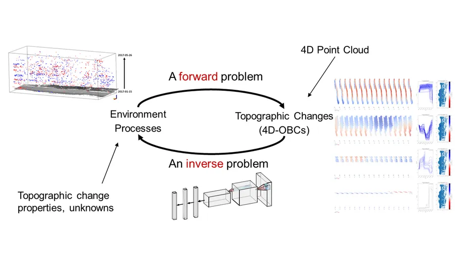
Individual surface changes detected by 4D remote sensing (3D + time) datasets hold great potential for analyzing topographic dynamics. Understanding and classifying these dynamics is crucial for society, as it helps us to uncover hidden mechanisms of environmental processes and their complex interactions with human activities. However, extracting and describing meaningful information from these topographic changes poses several challenges: (1) unknown types of changes, (2) unpredictable occurrence of specific processes, (3) high variability in spatial and temporal properties of changes, and (4) the need for parameter adaptation across different geographical settings and diverse data sources.
This project aims to leverage the representation learning capability of deep neural networks to automate the feature engineering of topographic changes. By combining these methods with machine learning, the project will categorize different types of topographic changes and visualize their occurrence across spatial and temporal scales. Ultimately, this project will contribute algorithms, datasets, and knowledge to the geospatial community, enhancing the application of ML/DL in topographic dynamics analysis and bridging the gap between AI methodologies and the monitoring of topographic changes using 4D remote sensing.