Topographic Time Series Analysis
Topographic time series, especially 4D point clouds acquired by permanent laser scanning and time-lapse photogrammetry, are unique datasets that are becoming increasingly available in geomorphological and environmental monitoring. We develop novel analysis methods to leverage their full spatial and temporal information content. These methods are required to provide a high degree of automation for analyzing large volumes of spatiotemporal data, to achieve high accuracy and reliability, and to provide capabilities for rapid mapping and prediction.
Multi-Source Remote Sensing of Topographic Dynamics
Topographic data are collected using different sensors, depending on the application and availability, and with diverse spatiotemporal coverage. The integration of different data sources through multi-sensor approaches and data fusion requires new methods for 4D observation. We investigate methodological concepts for merging multi-source and multimodal 4D data to exploit the expected added value for different applications. Find out more about our current research within the Extract4D project.
Applications and Operationalization
The operationalization of 4D observation is required by a wide range of applications to exploit the enormous potential of the improved spatiotemporal information as a basis for decision-making and knowledge gain. Our research focuses on application domains related to management of geo-risks (e.g. slope processes, mass movements) and the handling of climate change consequences (e.g. riverbank processes, soil erosion, coastal dynamics, changing cryosphere) in the complex interaction of natural processes with human interventions and infrastructure measures. To foster transfer of data and methods, we are developing new concepts for data models of spatiotemporal information that can be queried and interpreted by the applications and integrated into various domain-specific workflows. Our overall aim is to derive new and improved geoinformation that is needed in a variety of ways: for the interpretation of landscape dynamics, for modeling environmental processes, and as a basis for decision-making for practitioners and stakeholders in the management of natural hazards and environmental influences in general.
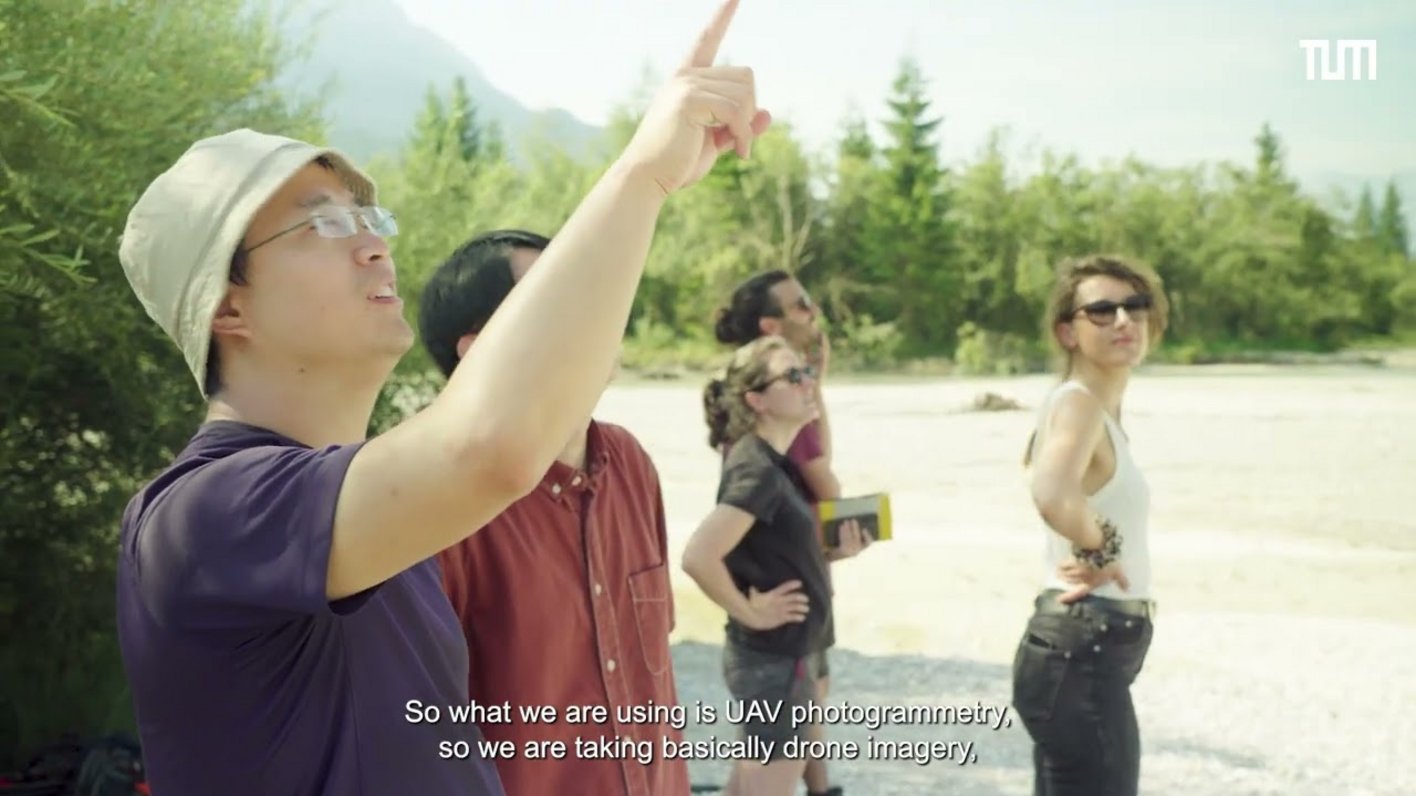
This video highlights our ongoing research project on the Isar River, focusing on sediment transport, river dynamics, and the impact of human activities on floodplain ecosystems. Using UAV photogrammetry, terrestrial laser scanning (TLS), and GNSS technology, we are generating high-resolution 3D models to monitor changes in river morphology, erosion patterns, and vegetation over time.
Earth Observation across Spatiotemporal Scales
The combination of near-continuous 3D observation of local landscape dynamics with large-scale satellite-based remote sensing has the potential to improve our understanding of topographic processes with completely new insights. We research strategies and novel methods to trace landscape dynamics from detailed to larger spatiotemporal scales. Such a multi-scale approach will revolutionize 4D observation strategies for a variety of geospatial and environmental applications, ultimately improving environmental models and to increase our understanding of Earth surface dynamics and their drivers.
