During the recent Uni-tag event, we had the chance to introduce high school students to the exciting fields of geodesy and remote sensing through presentations and hands-on activities.
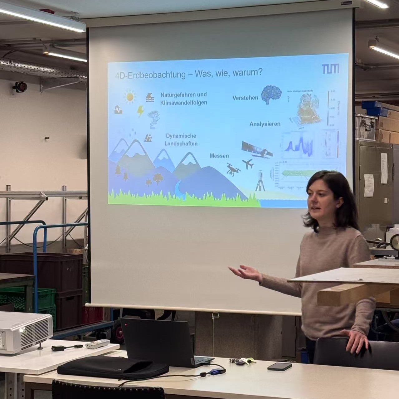
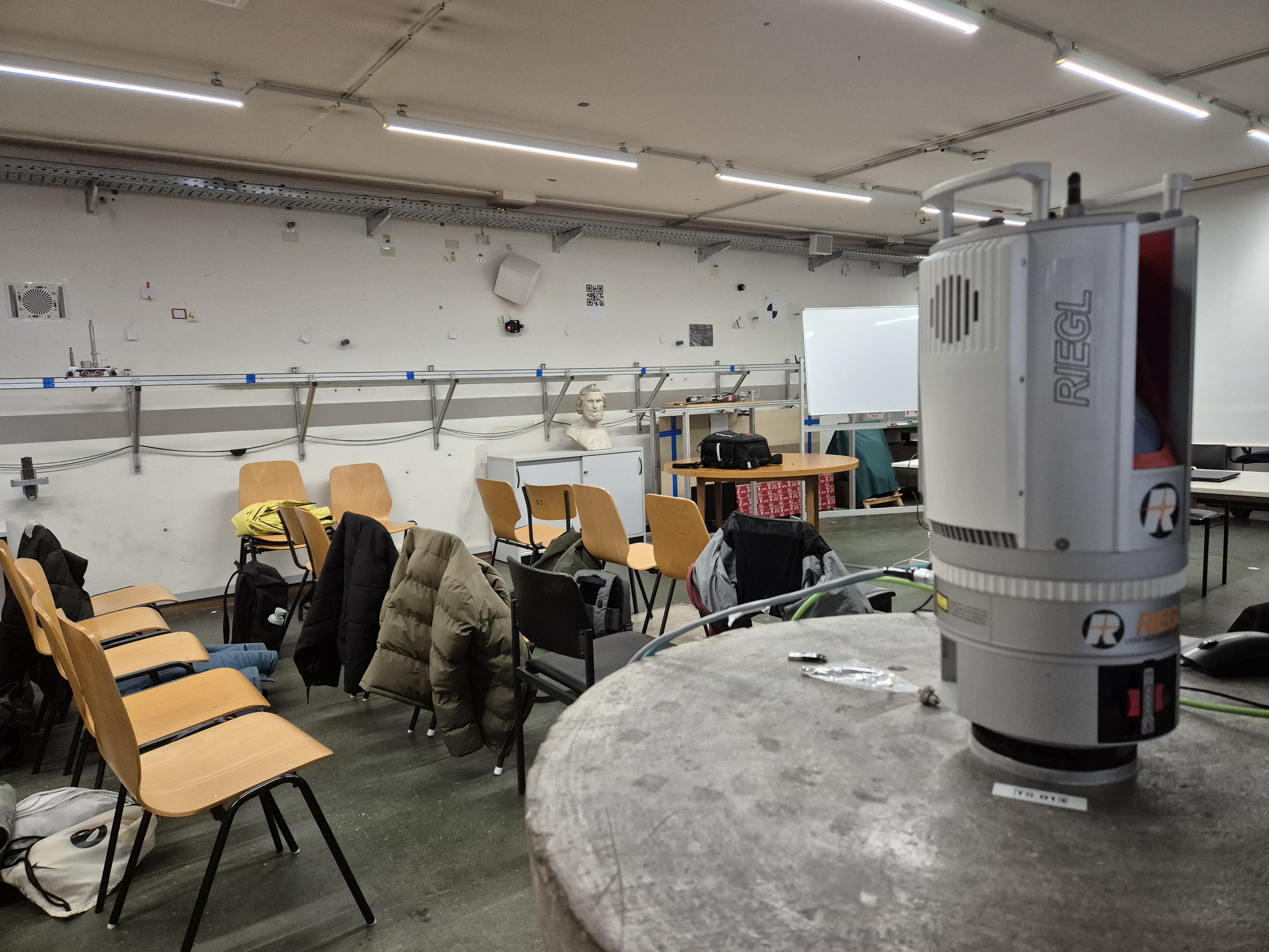
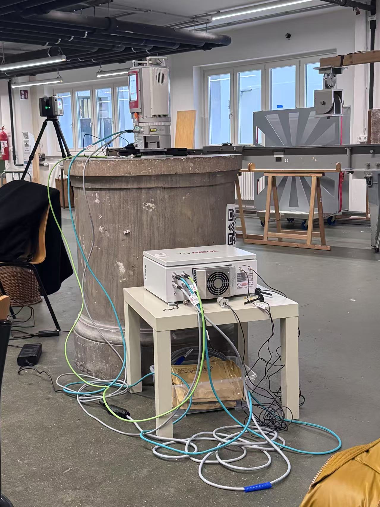
We began by presenting an overview of our work, highlighting the role of remote sensing in geospatial analysis. Using the RIEGL VZ-2000i terrestrial laser scanner, students actively participated in capturing high-resolution 3D point clouds of the indoor environment. They then used these point clouds to explore how changes in the scanned area could be detected, which is an important skill for environment monitoring and change analysis .
In collaboration with Theresa Pfaffinger from the Chair of Engineering Geodesy, students were also introduced to geodetic measurement techniques. They explored real-world applications such as monitoring deformations and precision surveying. Theresa then led an interactive session where students used a modern total station to track a reflector and participated in the "square meter game," experiencing how geodetic measurements can be applied in a fun and engaging way.
Through these hands-on activities, students had a unique opportunity to explore the diverse applications of geodesy. It was inspiring to see their enthusiasm and curiosity as they interacted with advanced geospatial technologies, perhaps sparking the interest of future geodesists and remote sensing specialists!
We would like to thank Hightech Agenda Bavaria for making it possible to acquire this measuring system and for supporting education in advanced 4D remote sensing.
News
Unitag Event: Exploring Geodesy and Remote Sensing