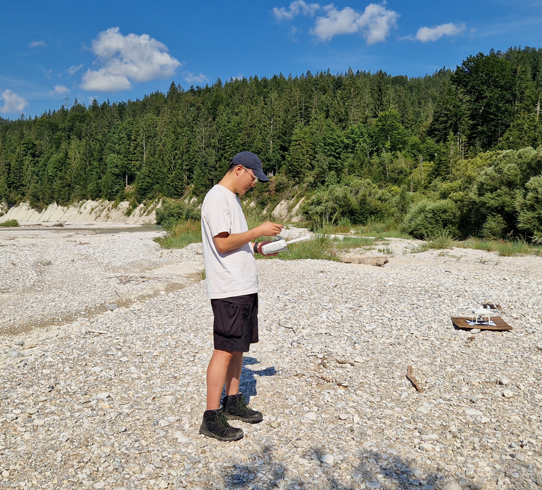
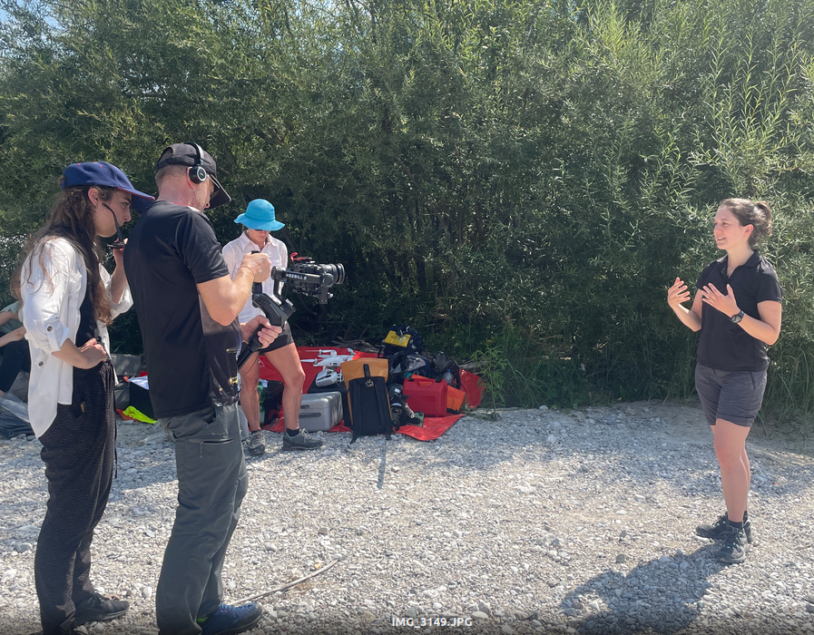
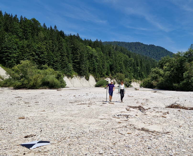
On August 12th, our team, along with members of the Big Geospatial Data Management, conducted a successful and intensive data acquisition of one of the last natural river stretches of the Isar near Wallgau. We collected comprehensive data on the Isar riverbed, marking the beginning of a monitoring project aimed at sediment and vegetation changes over time.
We used UAV photogrammetry and terrestrial laser scanning (TLS) to collect precise, high-resolution point clouds of the topography. These data will be the basis for assessing sediment transport once acquisitions have been repeated. If you want to read more about it, check out: Exploring the Isarwinkel: Cutting-Edge Geodetic Measurements in “Bavaria’s Canada”.
This project is linked to our lab course “Photogrammetric Data Acquisitions”, which will take place again next summer semester. Stay informed and join us next time!