Course Contents
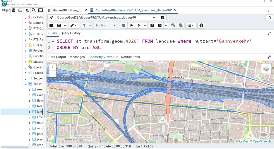
Introduction to spatial database systems, modelling spatial data (conceptual and logical schema), SQL and spatial SQL, concepts for storing spatial data in database systems, spatial data types and operators in database sysrtems, spatial SQL exemplified by the spatial database system PostGIS.
Learning Outcomes
At the end of the module students are able to understand the principles of a relational database system for storing spatial data; to understand the foundations of relational database systems; to apply methods for storing and retrieving spatial data in (object-) relational databases; to apply the language SQL. for spatial queries.
Geospatial Databases is not a standalone course. It is part of the module “Geodatabases (BV470015)”, which also contains the course “Database System Concepts for Non-Computer Scientists”. The learning outcome of this module is assessed with a written exam. The answers are partly own formulations and partly multiple-choice with an emphasis on short programming tasks. Goal of the written exam is to assess that the students understand the fundamentals of relational and object-relational database systems for storing and accessing geospatial data. Furthermore, it is assessed whether the language SQL can be applied by the students for querying geospatial data. Therefore problems have to be analyzed in limited time and, based upon the learning outcomes acquired in this module, solutions have to be found and implemented.
Contact
For any queries regarding this course - lecture and exercise content, course dates, exam information, etc. please reach out to Dr. Andreas Donaubauer.
