Course Contents
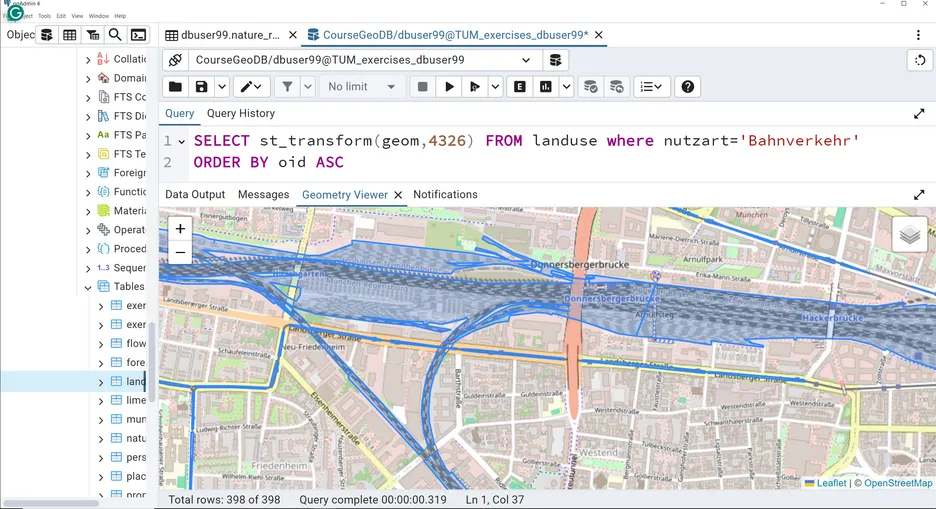
Introduction to spatial database systems, modelling spatial data (conceptual and logical schema), SQL and spatial SQL, concepts for storing spatial data in database systems, spatial data types and operators in database sysrtems, spatial SQL exemplified by the spatial database system PostGIS.
Learning Outcomes
Upon successful completion of the module, students will be able to...
- understand the principles of a relational database system for storing spatial content;
- understand system architectures for geographic information systems;
- apply methods for managing spatial data in (object) relational databases;
- apply the SQL language to spatial problems;
Please be aware that this is not a standalone course. The course is part of the module Spatial Data Management and Visualization (ED110004). The following information is true for the overall module:
The examination consists of a written exam of 120 min length (100%) at the end of the semester. In the written exam the students have to answer the questions with their own formulations, partly tables have to be completed or circumstances and facts have to be sketched, partly given multiple answers have to be ticked, whereby the focus is on own formulations.
The objective of the written exam is to demonstrate an understanding of the fundamentals of geospatial information modeling, spatial data management, and geospatial information system architecture, and to enable students to apply spatial SQL, selected ETL processes, and visualization methods and concepts of spatial and non-spatial data, and to evaluate cartographic visualizations.
Contact
For any queries regarding this course - lecture and exercise content, course dates, exam information, etc. please reach out to the following staff members.
