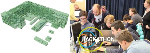
Course Contents
The course focuses on imparting competences for concept development and implementation of GIS-based processes like shadow analysis, creation of semantic 3D city models from 2D digital landscape models and digital height models, visualisation of dynamic geospatial data, coupling of 3D city models with power supply infrastructures and BIM-GIS-integration for infrastructure planning.
Learning Outcomes
After successful completion of the course students are able to:
- develop, prototypically implement and document concepts for solving selected project related tasks from the field of Geoinformatics (data modeling, data analysis and data processing, visualisation),
- present and discuss scientific problems from Geoinformatics in front of an audience,
- interact in interdisciplinary project teams, make decisions and develop solutions.
The expected learning outcomes are verified by a project work which is carried out in small groups. The assessment is done on the basis of a written project reports and an oral presentations. The report and the presentation are appropriate to assess the following competencies: to create a solution for a current problem from research. The written report serves in assessing the ability of the students to document own results in research and development.
The oral presentation is used to assess the communication competencies in presenting and discussing scientific topics in front of an audience, which is of particular importance for professionals and managers. The presentation and the written report are prepared in the self-study hours. Weekly meetings are scheduled with the supervisors.
Contact
For any queries regarding this course - lecture and exercise content, course dates, exam information, etc. please reach out to Dr. Andreas Donaubauer.
