Building Information Modelling and GIS interoperability / CAFM
Course Contents
- Course Organization
- Introduction to CAD-BIM/GIS integration and interoperability.
- Understanding IFC (Industry Foundation Classes) as a standard for BIM.
- Harmonization approaches between BIM and GIS, including IFC, CityGML, and semantic web technologies.
- Practical use cases for indoor/outdoor analysis, covering:
- Indoor navigation
- Utility network
- Thermal design
- CityGML model creation from IFC
- Hands-on training with BIM editors (Revit), BIM server, IFC parsers, and 3D GIS analysis tools.
- Session-by-Session Outline
- Excursion to TUM / Munich Airport
- Course Introduction & Importance of BIM for Geoinformatics
- BIM Editors (e.g., Autodesk Revit)
- IFC as a Standard for BIM & IFC Structure
- Indoor Network Extraction for Pedestrian Navigation
- Extracting Network Utilities for Stream Flow Analysis
- Geo-referencing BIM in GIS
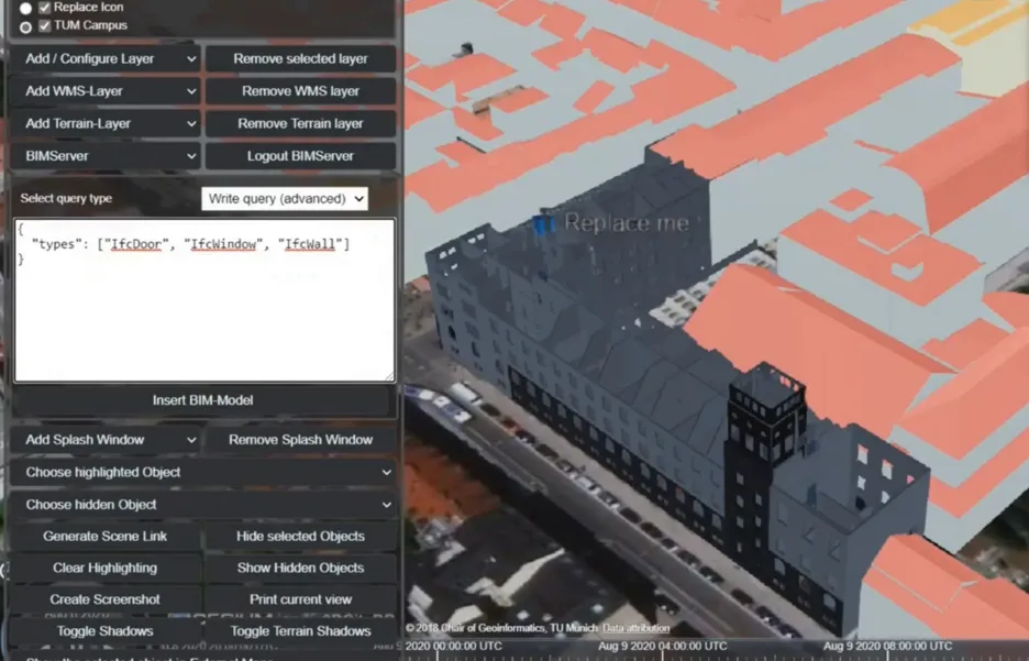
- BIM and GIS Integration & CityGML Generation
- Brainstorming: GIS Capabilities for BIM
- Discussion and Course Closing
Learning Outcomes
By the end of this course, students will be able to:
- Understand the Role of BIM in Geospatial Sciences
Explain the significance of Building Information Modeling (BIM) and its relationship with Geospatial Information Sciences (GIS). - Recognize how BIM technology is transforming the design, estimation, and construction of buildings.
- Develop BIM Modeling Skills: Create and modify BIM models using software tools such as Revit Architecture.
- Extract and Manage BIM Data
Browse and navigate BIM files to extract relevant information for geospatial applications.
Understand the information structure of BIM and its role as a data source for 3D geospatial technologies. - Integrate BIM with GIS
- Accurately integrate BIM models into GIS and geodatabases.
- Analyze BIM data in a geospatial context to support urban planning, infrastructure management, and spatial analysis.
- Develop an Appreciation for Data Accuracy and Organization
- Recognize the importance of precision, organization, and attention to detail in managing BIM and GIS datasets.
- Apply structured methodologies to ensure data integrity and interoperability between BIM and GIS systems.
Contact
For any queries regarding this course - lecture and exercise content, course dates, exam information, etc. please reach out to the following staff members.